Check out my equipment on consignment, including a 2013 JD S660 combine with just 5 separator hours.. Plus see more equipment on AgrisolEquipment.com
Just a few thoughts on this rainy Sunday..
Everyone and their brother wants to offer you satellite, airplane, and drone based imagery, but what about the local imagery?
Have you ever seen a spot on a yield map or as-applied map and wonder what the heck happened there? Sure you can layer other maps (say ground speed or planter singulation) to help solve the mystery, but what if you had a picture or video from on board the vehicle or implement? That’s the kind of local imagery I’m talking about. There’s the saying ‘a picture is worth a thousand words’. I think GPS coordinates added to that pic or video might be worth an extra few words and maybe help solve that mystery.
Let’s look at a few examples of local imagery that can provide real value:
Smartphone photos – If you have a smartphone, it likely has a camera and a GPS chip in it. With the right setting turned on, you can see where that picture was taken. This doesn’t always work perfect. Sometimes the phone doesn’t get a GPS lock before the picture was taken, or GPS was turned off), but it can certainly get you close. Note: you may look for alternate apps that might help, such as alternate camera apps, or apps that turn your phone / tablet into a dashcam. Or I imagine you could even run a dashcam with GPS in a tractor. Google Photos works as a great way to see the location information, I’ve used the now dated Picasa desktop program as well.
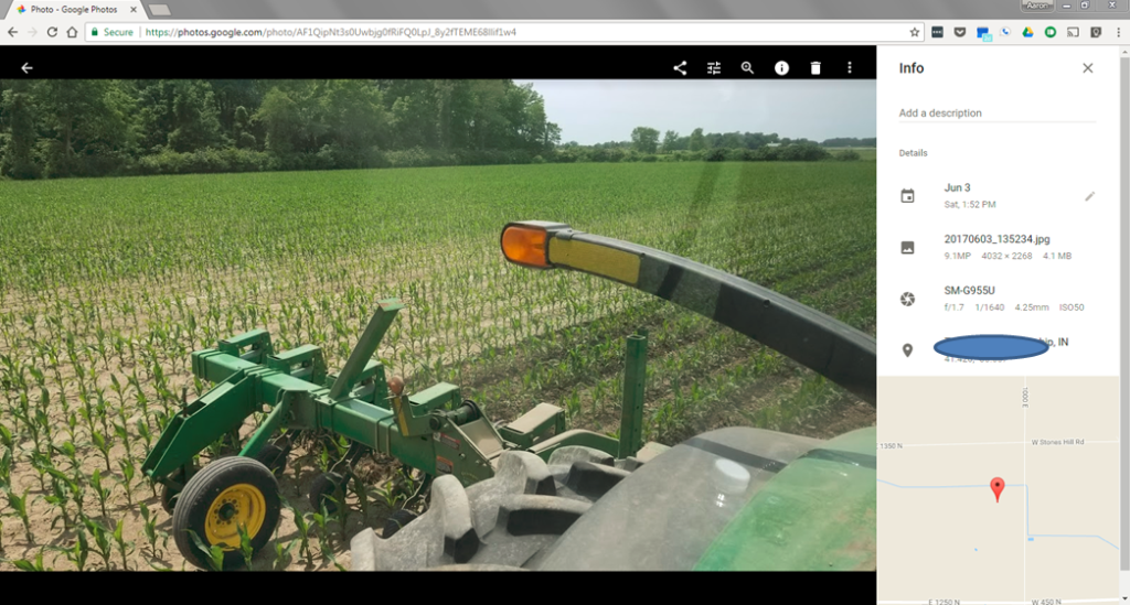
When you back photos up with Google Photos, the location information can be displayed. Notice the shorter corn off to the side, believe this was a dead furrow
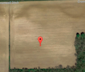
After clicking on the map on the above image in Google Photos, you will be taken to Google Maps and can see aerial imagery
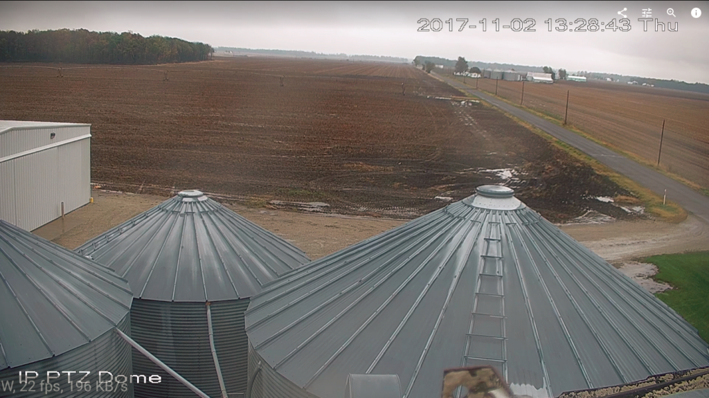
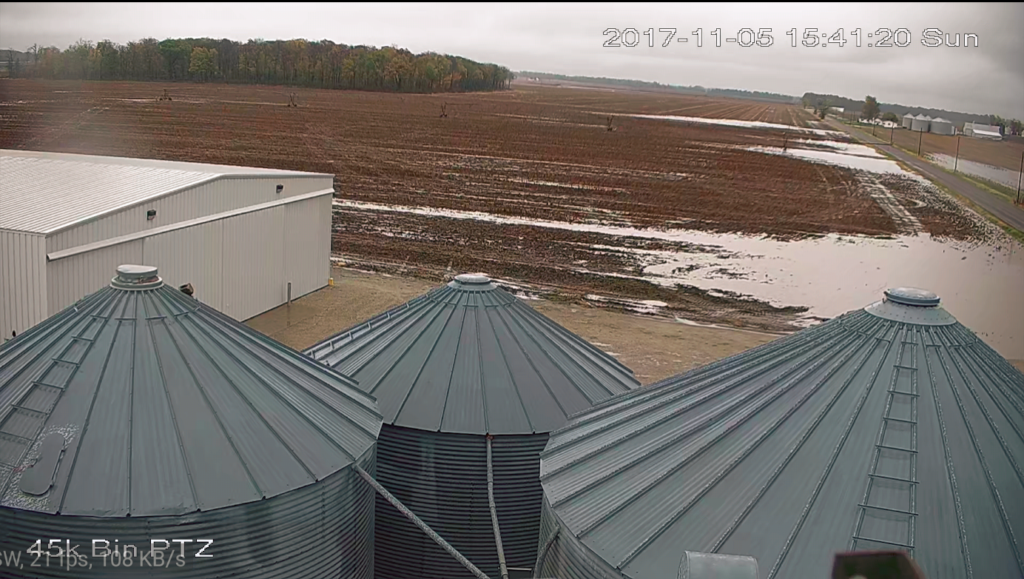
Security camera footage – Check out these still shots comparing before and after this latest rain where a compacted headland and a change in elevation ponds. I also have customers that watch their older dryer monitors, grain legs, livestock, etc. with cameras. It’s amazing what you can do for a few hundred dollars and an internet connection.
Check out this neat time lapse in a corn field
Just a few thoughts on this rainy Sunday. I know a few folks are experimenting with cool things like 360 degree video, long panoramic photos (think test plots) and more as well. All great examples of local imagery that can provide real value now and perspective in the future. Take more local pictures!

